Real store listing · independent assessment pending.

4.6 ★6,255 ratings
—Downloads
4+Age rating
84 MBApp size
FreeIn-app purchases
About this app
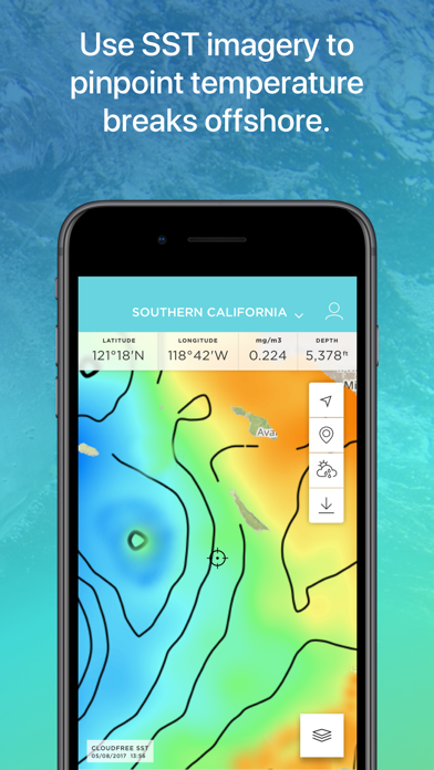
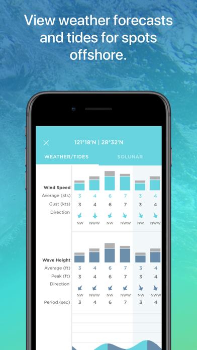
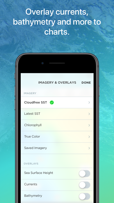
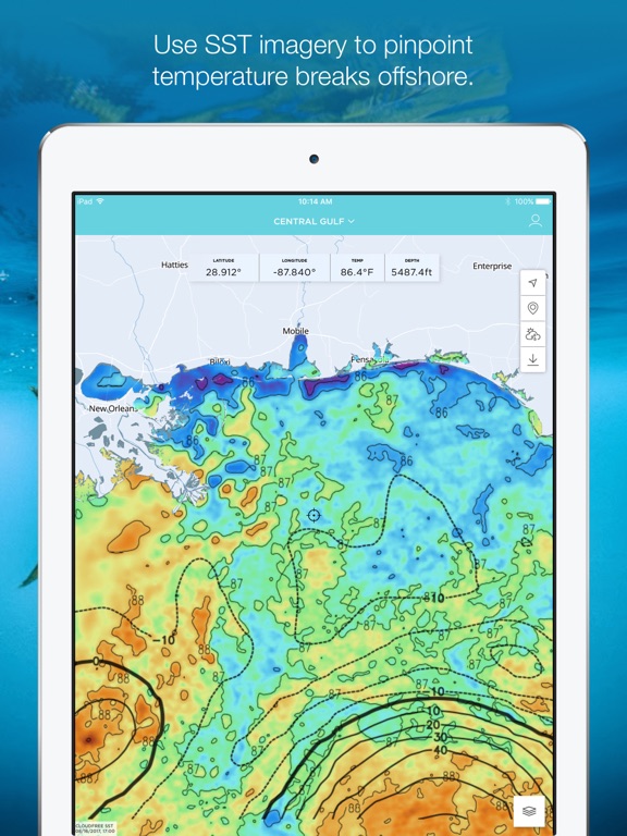
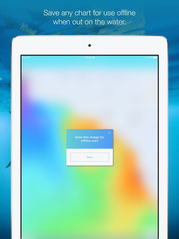
FishTrack provides saltwater anglers with everything they need to find fish. The FishTrack app offers Cloud-free Sea Surface Temperature (SST) charts, high-definition global satellite imagery, including water temperature charts, water color, currents, tides, moon phase and marine weather forecasts – all in one layered tool. Users can mark ‘hot spots’ and record GPS locations of temperature breaks and color barriers. Save imagery and overlay data for offline use to identify bite zones while navigating offshore.
With FishTrack you can:
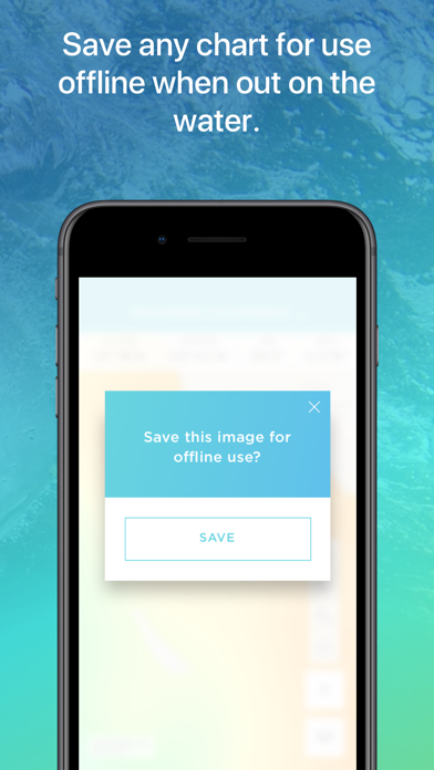
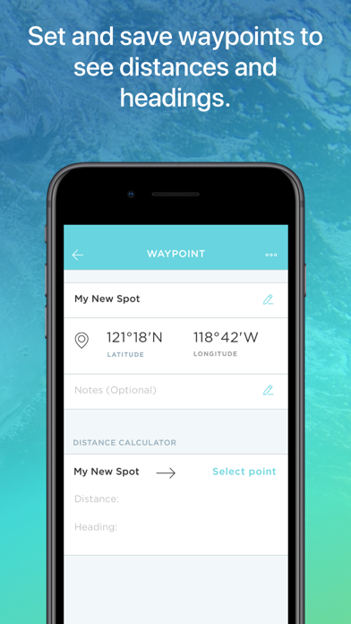
-View the Latest SST and Chlorophyll imagery -Mark, name and save data of potential hot spots -Save fishing chart imagery for offline use -Plot waypoints and calculate distances -Overlay bathymetry, ocean currents and sea surface height -View marine weather forecasts -View your current location while offline
Don't fish blind.…
Preview
Real screenshots from the store listing.

Independent evidence report
Evidence and review signals
This is where the page changes from an app-store listing into an evidence report: findings, important reviews, pricing and a dated history.
What we measured
Each line is a measurement published as a measurement, never a verdict.
Each line is a measurement, published as a measurement. Where we have not looked, the line says so rather than reading as a zero.
Developer replies to reviews
Not assessed
Fewer than 50 reviews scanned — too few to state a rate
Price in the store description
States no price and billing period
Cancelling, in the store description
Does not say how to cancel
Themes reported by reviewers
Not assessed
This app's reviews have not been assessed yet
Five-star share of ratings
80–89% five-star
Arithmetic on the stores' own published rating counts. It says nothing about why the ratings fall where they do.
In the package we scanned
No package has been scanned for this app, so nothing is published about what it ships. That is an absence of evidence about the app, not a finding about it.
Graded bands · predicate set 1.4 · how these are measured
What the analysis found
App-specific findings, grouped by what each one rests on. How they are graded lives on its own page.
No review themes cleared the reporting threshold.
Assessment & version history
App changes and Appworthy events in one timeline.
What this app sells
Useful store-disclosed pricing, kept below the app listing.
Business modelFree
Prices and terms as disclosed by the store listing.