Public review signal · 77 reviews scanned · scope limited to review patterns.

4.6 ★3,792 ratings
—Downloads
12+Age rating
15 MBApp size
$8.99In-app purchases
About this app
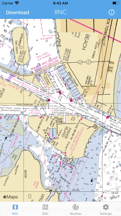
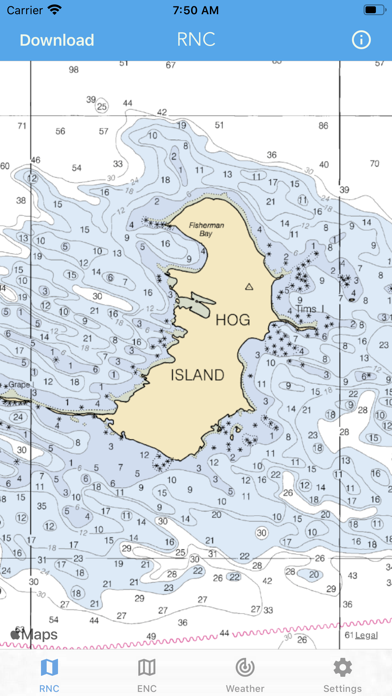
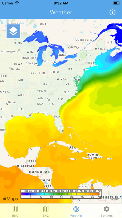
Main Features Include: + NOAA Electronic Navigational Charts (ENC) + NOAA Weather Map Overlays
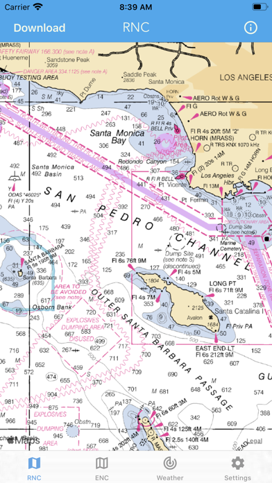
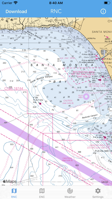
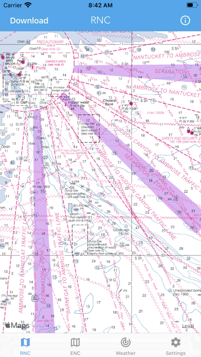
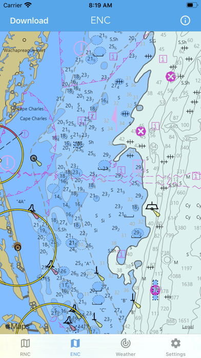
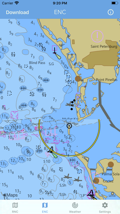
-- ELECTRONIC NAVIGATION CHARTS -- Electronic Navigational Charts (ENC) are vector data sets that support all types of marine navigation. + All charts are available to download for offline use + Chart format options include: NOAA, ECDIS
ENC charts display the following information: + Buoys, Beacons, Lights, Fog Signals, Radar + Natural and Man-Made Features + Services and Small Craft Facilities + Seabed, Obstructions, Pipelines + Depths, Currents + Port Features + Traffic Routes + Special areas
NOAA updates the ENCs for Notice to Mariners on a weekly basis. Timing of their availability is not guaranteed.
The ENC charts displayed in this app does NOT meet federal chart carriage regulations for regulated vessels.…
Preview
Real screenshots from the store listing.
Independent evidence report
Evidence and review signals
This is where the page changes from an app-store listing into an evidence report: findings, important reviews, pricing and a dated history.
What we measured
Each line is a measurement published as a measurement, never a verdict.
Each line is a measurement, published as a measurement. Where we have not looked, the line says so rather than reading as a zero.
Developer replies to reviews
Replies to fewer than 1 review in 20
Price in the store description
States no price and billing period
Cancelling, in the store description
Does not say how to cancel
Themes reported by reviewers
No theme reported
Counted from the reviews we have read for this app. "No theme reported" means no theme reached our reporting threshold — it is not a finding that nothing is wrong with this app, and we do not say it is.
Five-star share of ratings
65–79% five-star
Arithmetic on the stores' own published rating counts. It says nothing about why the ratings fall where they do.
In the package we scanned
No package has been scanned for this app, so nothing is published about what it ships. That is an absence of evidence about the app, not a finding about it.
Graded bands · predicate set 1.4 · how these are measured
What the analysis found
App-specific findings, grouped by what each one rests on. How they are graded lives on its own page.
No review themes cleared the reporting threshold.
Assessment & version history
App changes and Appworthy events in one timeline.
What this app sells
Useful store-disclosed pricing, kept below the app listing.
Business model$8.99
Prices and terms as disclosed by the store listing.