Real store listing · independent assessment pending.

4.5 ★8,514 ratings
—Downloads
4+Age rating
50 MBApp size
FreeIn-app purchases
About this app
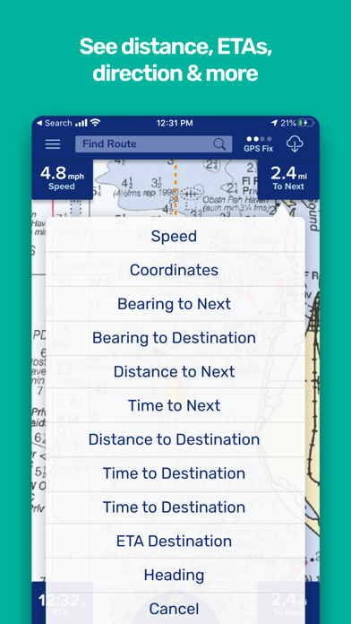
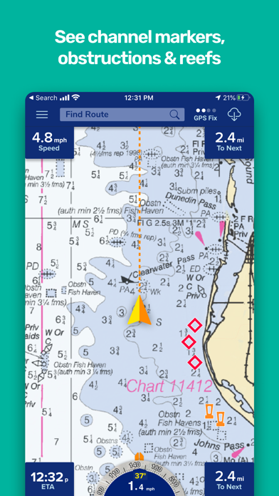
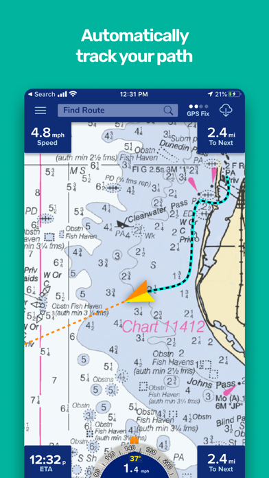
MiraTrex PRO CHARTS™ is a powerful, yet easy-to-use marine navigation system. Whether you’re a fisherman, weekend cruiser, sailor, diver, jet-skier, or an offshore captain needing to find an exact location hundreds of miles offshore, PRO CHARTS™ will get you there and back home safely – with nothing more than your iPhone or iPad.
Key Features:
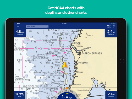
• High-resolution NOAA nautical chart coverage with depths for all U.S. coastal areas, the Great Lakes, major U.S. river systems, and Brazil plus global high-level nautical charts. Charts are automatically updated based on NOAA chart corrections.
• Easy one-touch Waypoint and Route creation. Pre-plan your routes at home or create them at sea with equal ease. Just touch the screen to create new waypoints and routes.
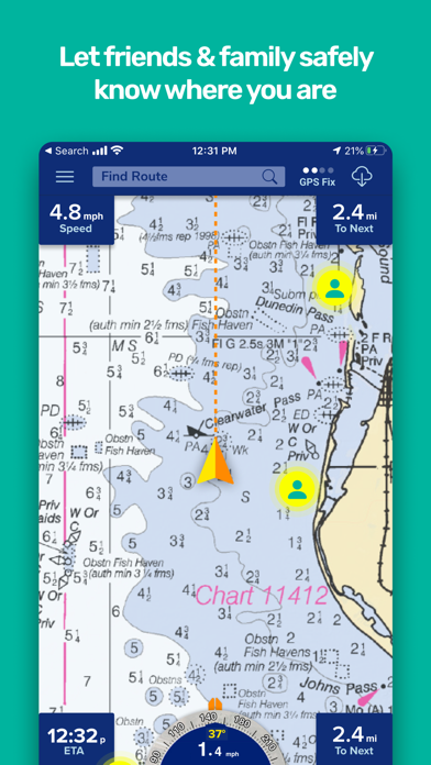
• Find your friends on the water.…
Preview
Real screenshots from the store listing.



Independent evidence report
Evidence and review signals
This is where the page changes from an app-store listing into an evidence report: findings, important reviews, pricing and a dated history.
What we measured
Each line is a measurement published as a measurement, never a verdict.
Each line is a measurement, published as a measurement. Where we have not looked, the line says so rather than reading as a zero.
Developer replies to reviews
Not assessed
Fewer than 50 reviews scanned — too few to state a rate
Price in the store description
States a price and a billing period
Cancelling, in the store description
Says how to cancel
Themes reported by reviewers
Not assessed
This app's reviews have not been assessed yet
Five-star share of ratings
65–79% five-star
Arithmetic on the stores' own published rating counts. It says nothing about why the ratings fall where they do.
In the package we scanned
No package has been scanned for this app, so nothing is published about what it ships. That is an absence of evidence about the app, not a finding about it.
Graded bands · predicate set 1.4 · how these are measured
What the analysis found
App-specific findings, grouped by what each one rests on. How they are graded lives on its own page.
No review themes cleared the reporting threshold.
Assessment & version history
App changes and Appworthy events in one timeline.
What this app sells
Useful store-disclosed pricing, kept below the app listing.
Business modelFree
Prices and terms as disclosed by the store listing.