Real store listing · independent assessment pending.

0.0 ★Store rating
—Downloads
4+Age rating
38 MBApp size
$0.99In-app purchases
About this app
This is the original TAS Fires app and is designed to provide up to date information about bush fire data in Tasmania, Australia for iPhone, iPad and iPod users.
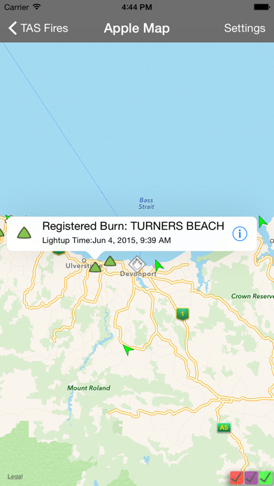
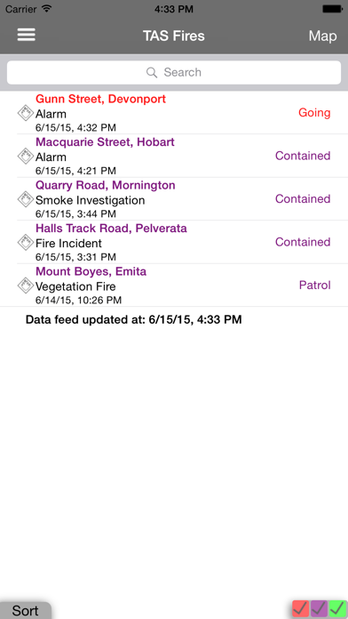
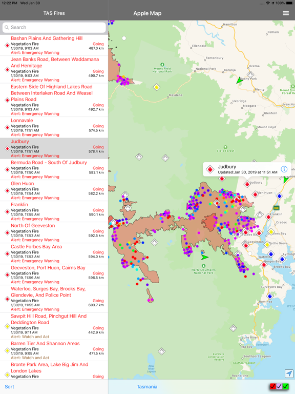
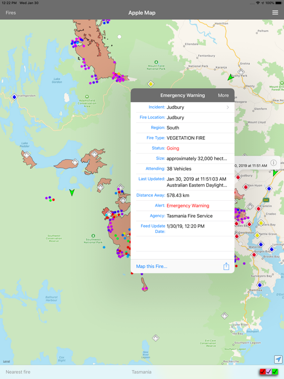
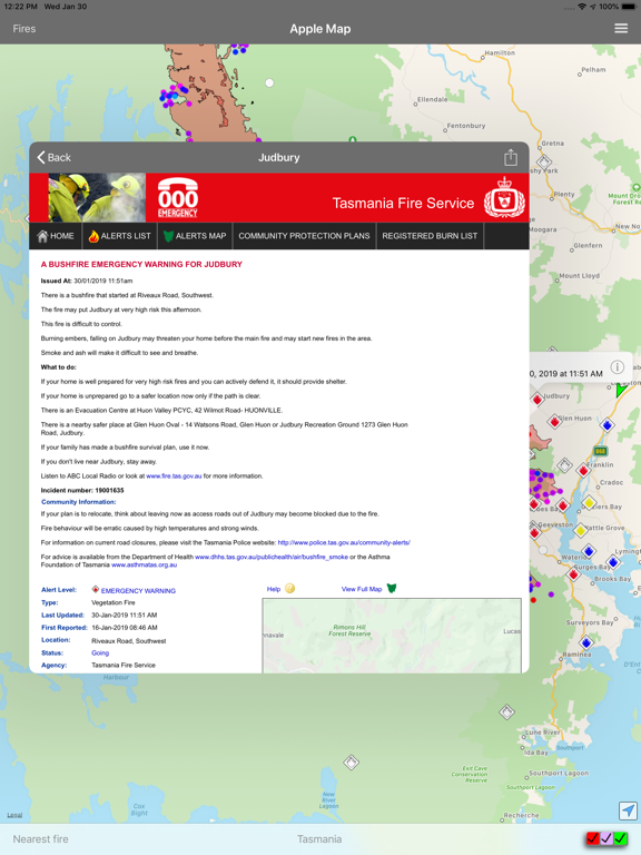
The information is provided to you in both a searchable/sortable list and on a map to help the user understand which fires are of importance to them. The information can also be shared via social media/email and text.
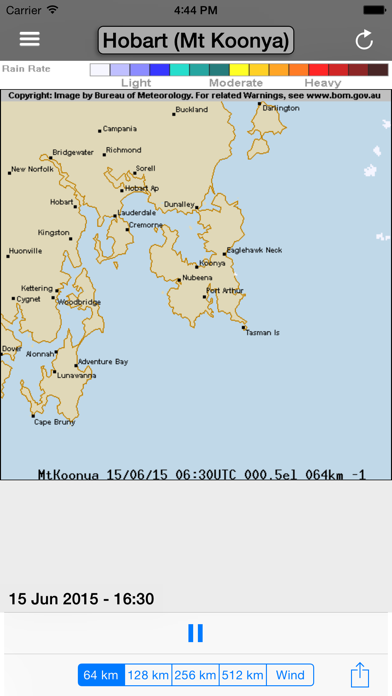
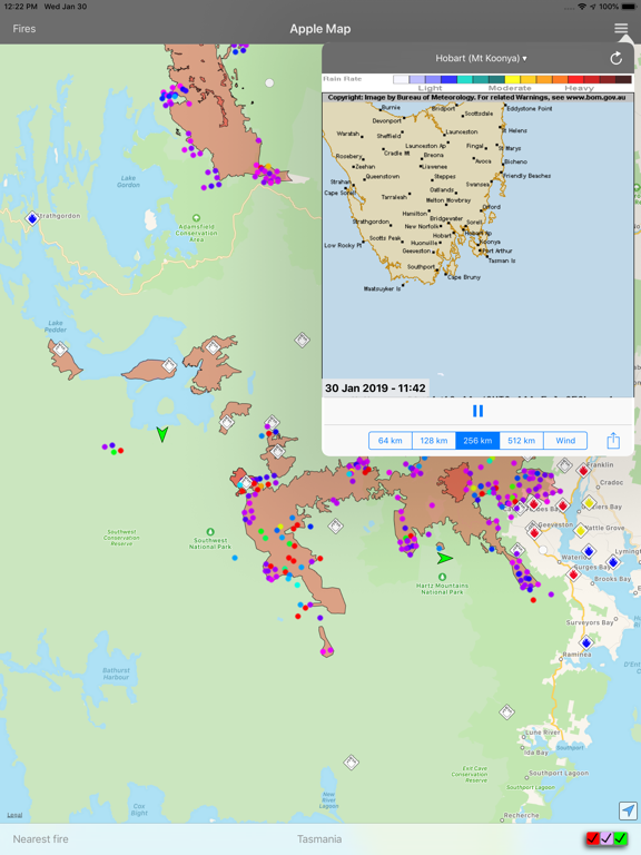
It utilises data from the Tasmanian Fire Service RSS feeds on fires, wind data from the Bureau of Meteorology with your current location provided by the iPhone GPS.
Using this information the application is able to provide a list of fires showing the nearest ones first, helping you to understand your current situation.
The information is reliant on both the accuracy of the iPhone GPS and the data recorded on the TFS's website.
This application does not cache any data, so Internet access (either Wireless.…
Preview
Real screenshots from the store listing.

Independent evidence report
Evidence and review signals
This is where the page changes from an app-store listing into an evidence report: findings, important reviews, pricing and a dated history.
What we measured
Each line is a measurement published as a measurement, never a verdict.
Each line is a measurement, published as a measurement. Where we have not looked, the line says so rather than reading as a zero.
Developer replies to reviews
Not assessed
Fewer than 50 reviews scanned — too few to state a rate
Price in the store description
States no price and billing period
Cancelling, in the store description
Does not say how to cancel
Themes reported by reviewers
Not assessed
This app's reviews have not been assessed yet
Five-star share of ratings
Not assessed
No rating histogram has been captured for this app
In the package we scanned
No package has been scanned for this app, so nothing is published about what it ships. That is an absence of evidence about the app, not a finding about it.
Graded bands · predicate set 1.4 · how these are measured
What the analysis found
App-specific findings, grouped by what each one rests on. How they are graded lives on its own page.
No review themes cleared the reporting threshold.
Assessment & version history
App changes and Appworthy events in one timeline.
What this app sells
Useful store-disclosed pricing, kept below the app listing.
Business model$0.99
Prices and terms as disclosed by the store listing.