 Appworthy

App Store
Version 3.0 · 2026-09-25
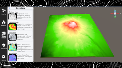
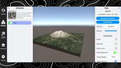
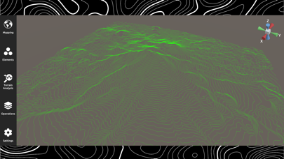
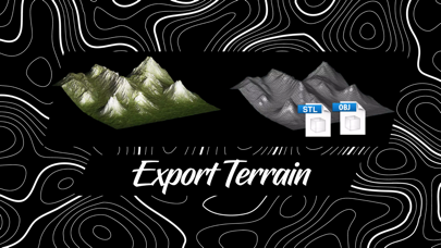
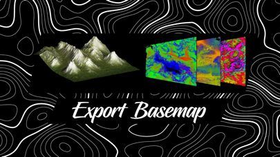
• Earthwork Cut & Fill Calculations: Perform instant earthwork estimates directly in the field. Calculate cut, fill, and net volumes using an adjustable base plane or two-surface comparison. • Terrain Suitability Tool: Screen sites in seconds by defining maximum slope angle, elevation range, solar aspect, and minimum contiguous buildable footprint. • 3D Route & Terrain Profiling: Measure real-world terrain-following paths, elevation gain/loss, slope gradient, and calculate closed-polygon plan and surface areas. • GeoTIFF & DEM Raster Exports: Export georeferenced elevation DEMs and RGB GeoTIFFs (EPSG:3857) directly into QGIS, ArcGIS, and CAD workflows. • Client Site Briefs: Generate…
Shortened here; the full notes are on the store listing.