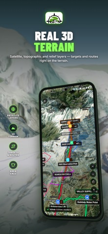
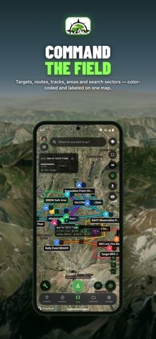
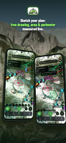
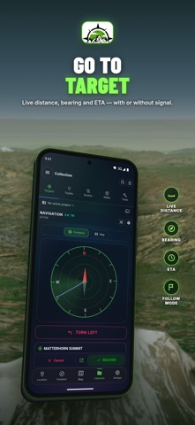
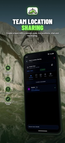
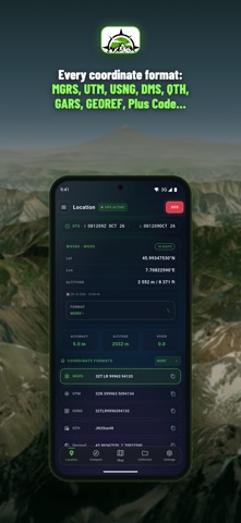
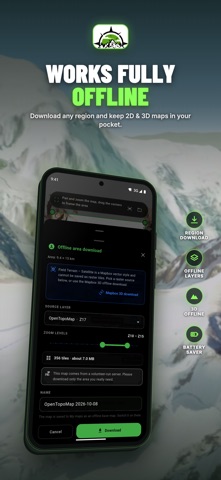
Lose the signal, not your way. Alpin Quest PRO is the offline GPS and topo map app for hunters, backpackers, overlanders, search-and-rescue teams and hikers who go past the end of the trail. Plan on satellite or topo maps, download them before you leave, navigate by MGRS, USNG or UTM, record every mile and keep your whole crew on one live map. No ads, no clutter.
BUILT FOR HOW YOU GO OUT
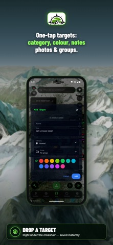
• Hunting: mark stands, blinds, trail cams, water and sightings as targets with photos and notes — then navigate back to them in the dark
• Backpacking & hiking: offline topo, 3D terrain, slope map, elevation profiles and ETA from your real speed
• Overlanding: download whole regions, record tracks with battery profiles, share GPX/KML with your convoy
• Search & rescue: MGRS/USNG grids, search areas, team roles, live positions and PDF briefing maps…
From the developer’s store description.
 Appworthy