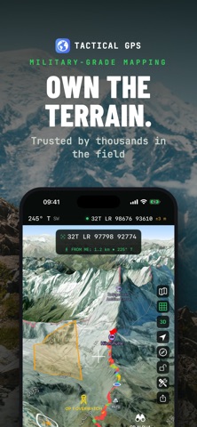
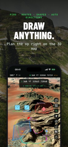
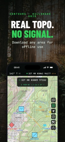
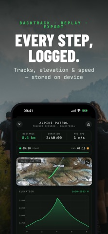
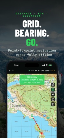
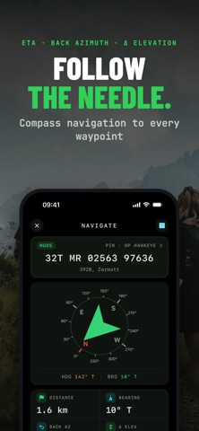
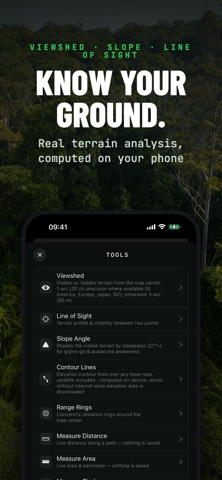
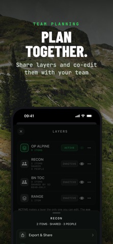
Tactical GPS is the Swiss Army knife of navigation - everything you need in one app. Plan routes, navigate cross-country, record tracks, analyze terrain and share your map with your team - online or fully offline, with the precision of a purpose-built instrument. Made for soldiers, SAR teams, hikers, hunters and anyone who reads maps. Designed and built natively for iPhone and iPad. No cross-platform compromises. Just a fast, precise tactical navigation experience.
SHARE & SYNC - NEW
• Share a map layer with your team over iCloud: everyone sees pins, routes and shapes update live - photos, voice memos and PDF attachments included. Invite-only, no accounts, no exporting.
• Connect to a TAK server to exchange position and data in real time, with built-in certificate enrollment
• Export your work as GPX, KML/KMZ, GeoJSON, CSV or DXF and continue in any other tool…
From the developer’s store description.
 Appworthy