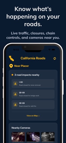
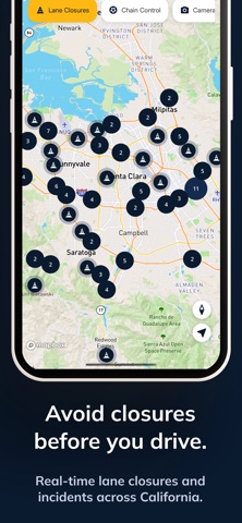
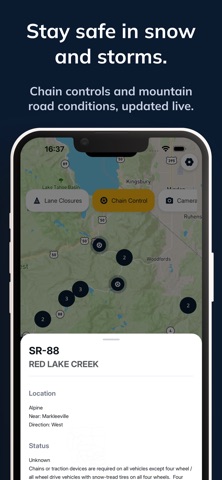
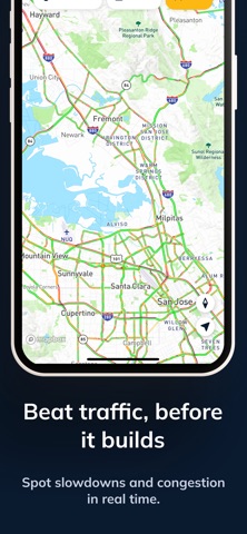
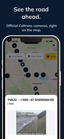
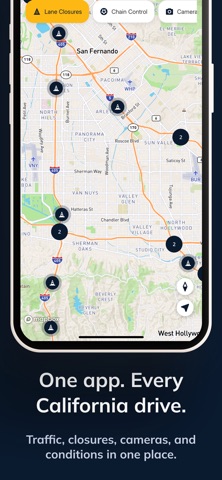
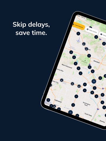
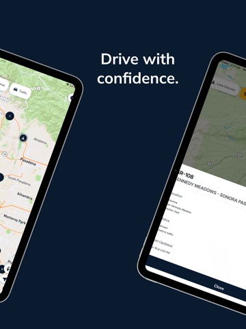
Stay ahead of changing California road conditions with real-time reports and updates from Caltrans, CHP incident feeds, and 511 traffic sources—all in one clean, modern, easy-to-use app. Whether you're commuting, driving through mountain passes, traveling to Lake Tahoe, or preparing for winter storms, get the essential road information you need before you hit the highway.
California drivers face some of the most dynamic road conditions in the country—snowstorms, wildfires, lane closures, traffic incidents, mountain pass restrictions, and chain controls on major routes like I-80, Hwy 50, Hwy 88, Hwy 18, and Hwy 330. This app brings all the critical data together, giving you fast, reliable, and convenient access to real-time highway conditions, closures, cameras, and traffic status so you can plan smarter and stay safe.
## KEY FEATURES
# Live Lane Closures…
From the developer’s store description.
 Appworthy