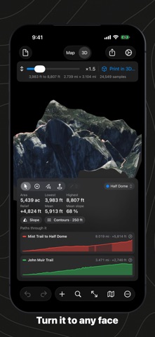
Not yet tested. No analysis has been run for this app, so there is no version or date to report.
Store update history
Each store’s release notes, as the developer wrote them. They are the developer’s words, not ours.
App Store
Version 2.3.1 · 2026-10-26
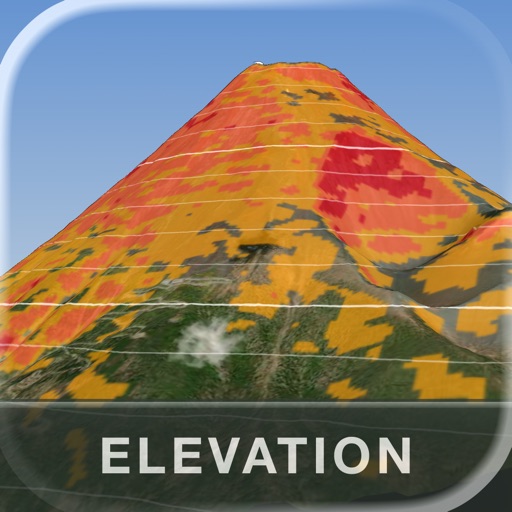
• Files have an icon of their own wherever no preview is drawn: the app's mountain on a page marked ELEVATION.
• On the Mac, shapes, slope and contours in shared pictures, PNG exports, prints and the PDF report now sit where they belong on the map; they were mirrored top to bottom.
• On iPhone and iPad, a document keeps saving every change; after a save, later edits could be lost.
Version 2.3 · 2026-10-22
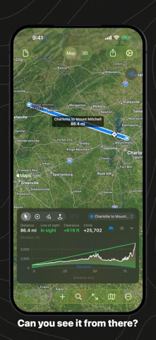
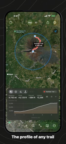
• Line of Sight: a straight path tells whether its two ends see each other over the curve of the Earth, and by how much.
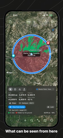
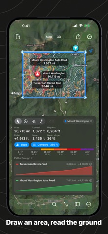
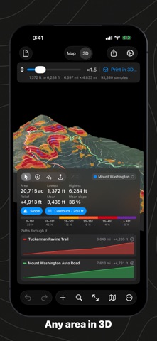
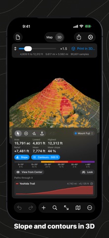
• View from Center: a circle shows what its center can see, in green and red, on the map and in 3D.
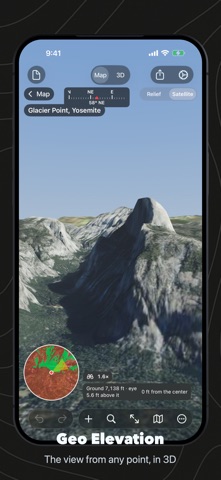
• Look: stand at a circle's center at the true height of the ground and look around, in relief or satellite, and zoom in.
• Below sea level, the sea is told from dry land such as Death Valley.
• A new print sheet and PDF report: a sharp profile with its units, tables and page numbers.
• On the Mac, a welcome window with the sample and your recent documents (macOS 15 or later).
• Document icons show the ground each file carries.
Assessment record
- Status
- Not yet tested
- App identifier
geo-elevation- Sources used
- None recorded
- Reviews read
- None recorded
- Package examined
- No package scan
- Human inspection
- Not completed
How we know
- Measurement vocabulary
- 1.4
 Appworthy