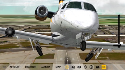
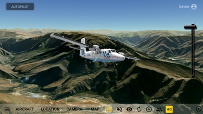
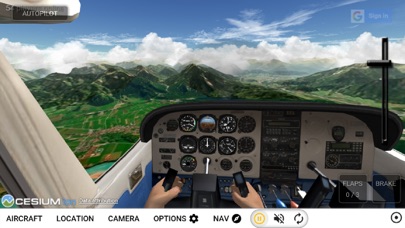
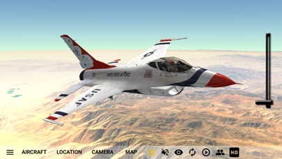
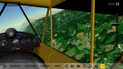
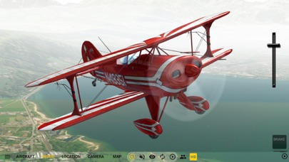
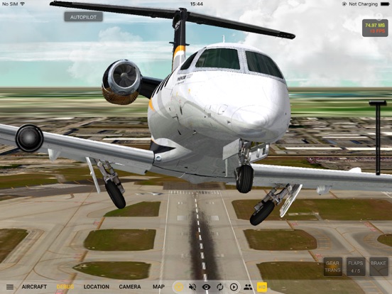
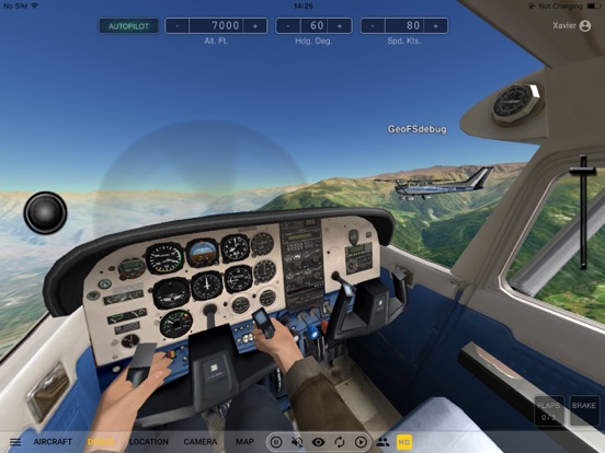
GeoFS is a multiplayer flight simulator displaying a global scenery from satellite images. Whether you are a licensed pilot practicing VFR, an aviation enthusiast or just looking for some fun flying in beautiful landscapes, you can enjoy any of the 20 available aircraft, ranging from paraglider to airliners, absolutely anywhere in the world..
This app includes:
- Worldwide 1m/pixel Super Resolution imagery - AI enhanced satellite images
- Worldwide (10m resolution) satellite images and elevation model
- Realistic physics and flight models
- Global multiplayer
- Navigation charts with 40,000 referenced runways
- Radio Navigation (GPS, ADF, VOR, NDB, DME)
- 30+ different aircraft with instrumented cockpits
- ADS-B real-life commercial traffic
- Replay mode
- Seasons, day/night and real-time weather conditions from METAR (wind, clouds, fog, precipitations)…
From the developer’s store description.
 Appworthy