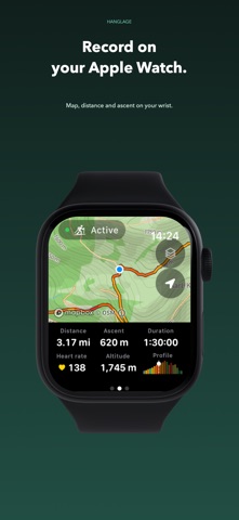
Ski touring, hiking and trail running with iPhone and Apple Watch.
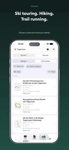
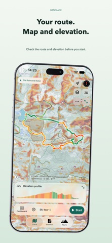
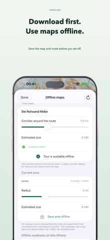
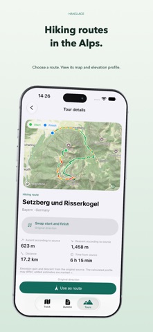
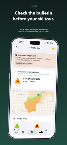
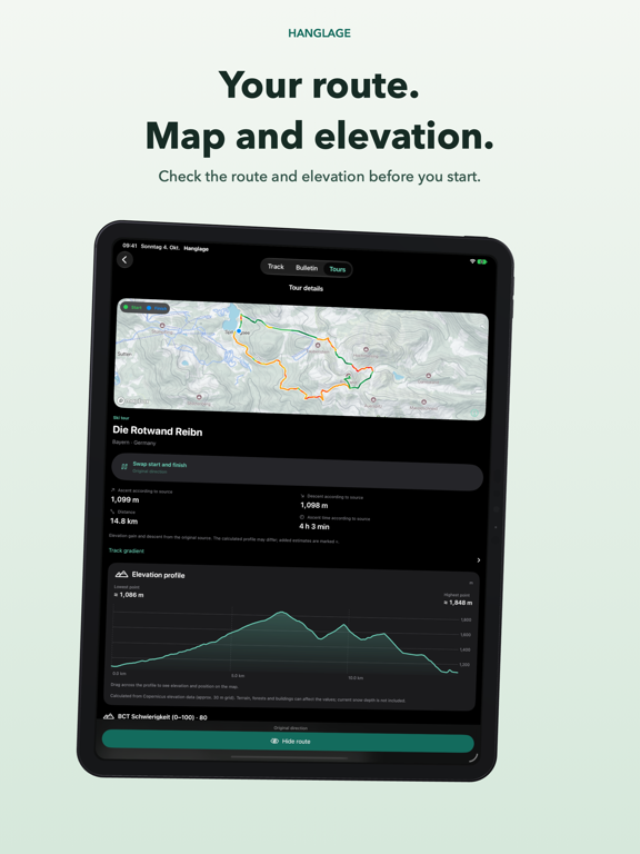
Choose a route in the Alps, view its map and elevation profile, and record your activity. You can choose a catalogue route without importing your own GPX file. Download maps before you set off. For ski tours, check terrain slope, protected-area information and official avalanche bulletins.
FIND ROUTES IN THE ALPS
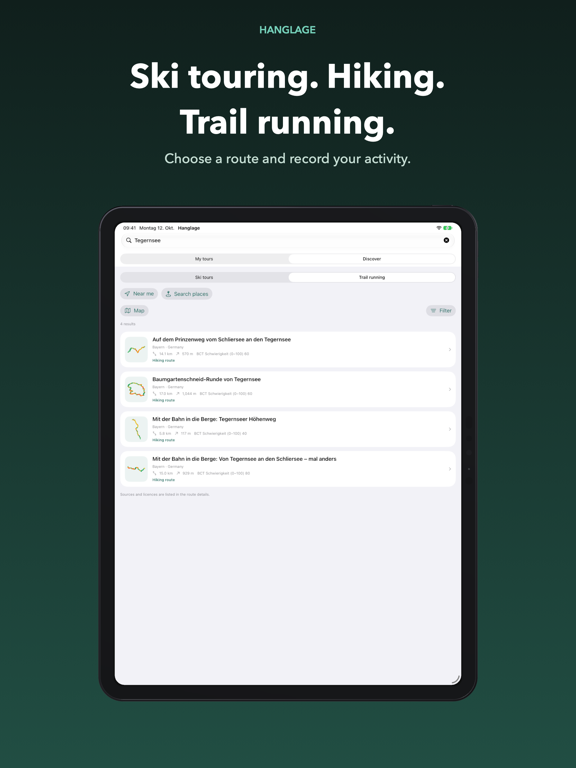
Search by tour, summit, region or place, or find nearby routes. The Alpine catalogue includes ski tours and summer routes from Austria Tourism, swisstopo, BayernCloud, Camptocamp and selected OpenStreetMap routes. Details show the route, elevation profile and original sources. Difficulty, season months, refreshment stops and photos appear when the source supplies them and usage rights allow.
PATHS, CONTOURS AND TERRAIN SLOPE
Topographic maps show paths, contours and terrain in 2D or 3D on iPhone.…
From the developer’s store description.
 Appworthy