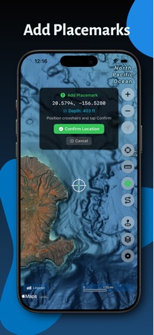
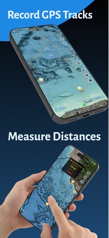
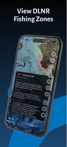
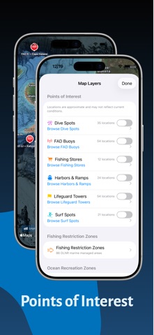
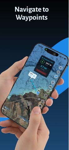
Hawaii Ocean Map brings professional-grade seafloor mapping to your iPhone and iPad. Explore the depths around the Hawaiian Islands with NOAA's high-resolution bathymetry data—all available offline, with no subscription required.
PROFESSIONAL DEPTH DATA
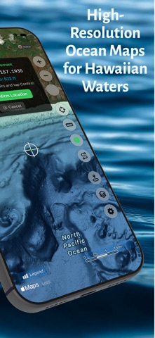
Access detailed ocean floor topography derived from NOAA's Continuously Updated Digital Elevation Model (CUDEM) at approximately 3-meter resolution. Find underwater features including reefs, ledges, channels, and drop-offs with precision.
DEPTH CONTOUR LINES
Toggle fathom lines at 40, 100, 200, 500, 750, 1,000, 1,500, and 2,000 fathoms, drawn and labeled on top of the color bathymetry.
WORKS OFFLINE
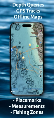
Download maps before you head out. Whether you're miles offshore or in areas with no cell coverage, your depth data is always available. Perfect for ocean adventures beyond the reach of cellular networks.…
From the developer’s store description.
 Appworthy