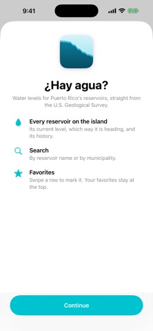
¿Hay agua? shows you at a glance how Puerto Rico's reservoirs are
doing, with data straight from the U.S. Geological Survey (USGS).
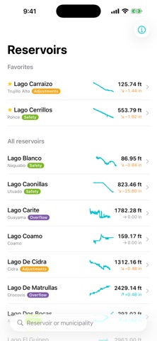
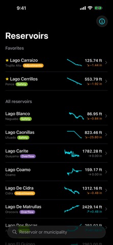
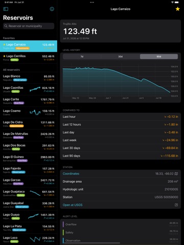
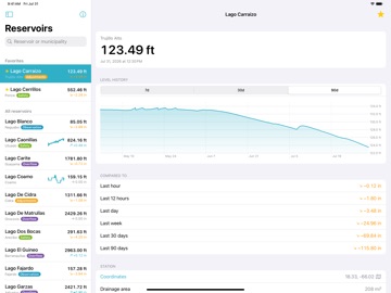
All in one list
The island's 23 reservoirs on a single screen, each with its current
level and which way it's heading. Mark the ones you care about as
favorites and they stay at the top.
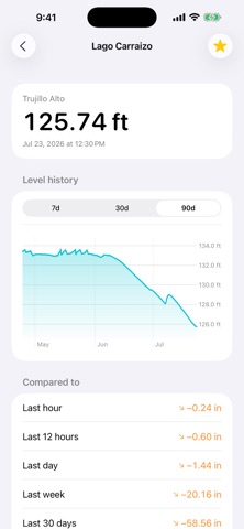
The full history
Tap any reservoir to see its level over the last 7, 30, or 90 days in
a clear chart, along with how much it has risen or fallen in the last
hour, day, week, and quarter.
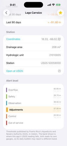
Alert level
Each reservoir shows which band it falls into —Overflow, Safety,
Observation, Adjustments, Control, or Out of service— with the same
colors and thresholds published by Puerto Rico's Aqueducts and Sewers
Authority (AAA).
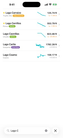
Search
By reservoir name or by your municipality.…
From the developer’s store description.
 Appworthy