Paddle out knowing what's out.
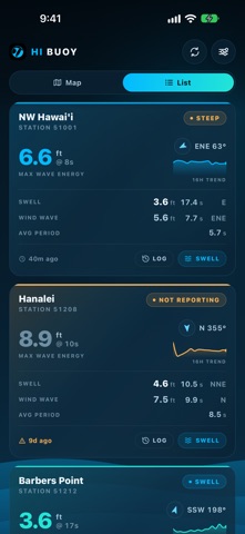
Every wave buoy in the Hawaiian chain, in one place, reporting what the ocean is actually doing.
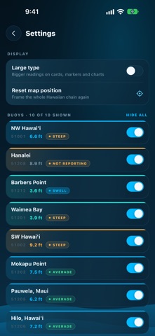
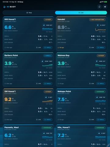
HI Buoy reads live from the NOAA National Data Buoy Center stations moored around the islands — Waimea Bay, Barbers Point, Mokapu Point, Hanalei, Pauwela, Hilo, and the deep-water stations far offshore — and shows you the numbers straight.
This is measured data, not a forecast. Every figure came off a buoy in the water.
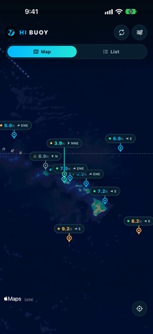
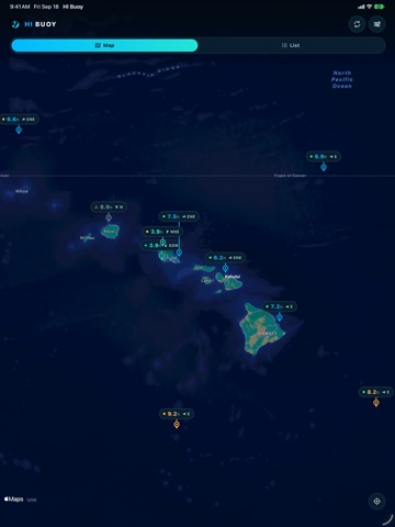
THE WHOLE CHAIN AT A GLANCE
Open the map and every buoy carries its current wave height and swell direction, color-coded so a big day stands out before you read a single number. Tap any buoy for the full picture.
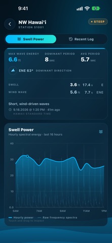
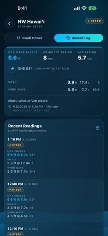
THE NUMBERS THAT MATTER
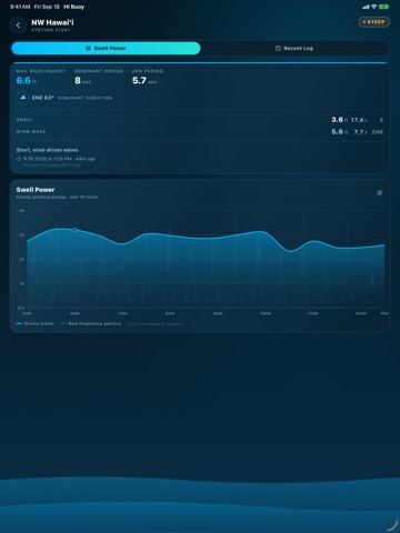
Wave height, dominant period, average period and dominant direction, plus the swell and wind-wave trains broken out separately with their own height, period and direction.…
From the developer’s store description.
 Appworthy