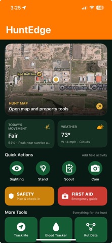
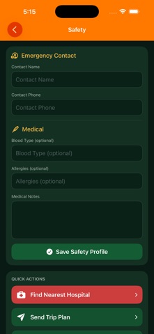
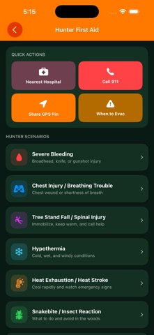
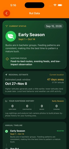
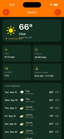
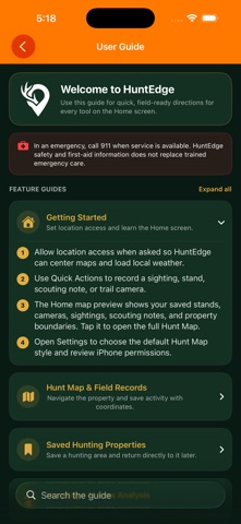
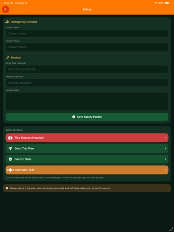
HuntEdge brings your hunting map, field observations, trail cameras, weather, and planning tools together in one field-ready app.
Map and plan:
- Standard, satellite, hybrid, and USGS topographic map styles
- Deliberately downloaded offline topo areas
- Tree stands, trail cameras, scouting notes, sightings, blood trails, and property boundaries where available
- Public-land overlays and selected state hunting units; check official rules and access
- Online USGS bare-earth hillshade and animated NOAA weather radar
- Animated wind direction and stand-wind guidance
- Track Me route recording with recovery drafts
Understand deer and elk activity:…
From the developer’s store description.
 Appworthy