See the world differently.
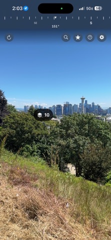
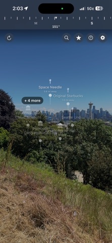
LandmarkAR transforms your surroundings into an interactive guide. Point your camera at the horizon and watch floating labels appear — anchored to real-world GPS coordinates — identifying the natural landmarks and historic sites around you.
Whether you're hiking a mountain trail, exploring a new city, or simply curious about what's on the distant skyline, LandmarkAR connects you to the stories behind the places you see.
What LandmarkAR does:
• Overlays named labels for nearby peaks, lakes, historic sites, and points of interest directly onto your live camera view
• Anchors labels to their true GPS position in the real world using ARKit and CoreLocation
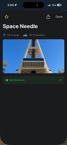
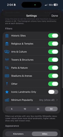
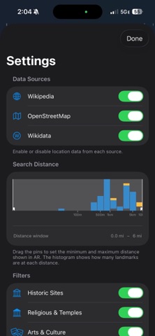
• Pulls rich landmark data from Wikipedia and OpenStreetMap so you always have up-to-date coverage
• Works in real time as you move and pan — no tapping required…
From the developer’s store description.
 Appworthy