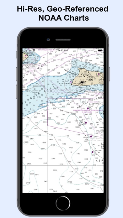
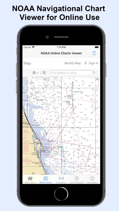
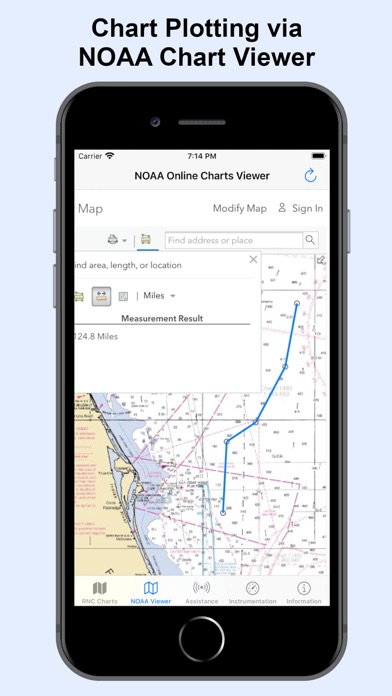
Searching for NOAA nautical charts to use offline on the water? NOAA Nautical Maps puts NOAA's raster charts, electronic charts, and Coast Pilot volumes on your phone - no signal required once they're downloaded.
NEW in 2.0: ENC charts (Early Access, free). Over 2,000 NOAA Electronic Navigational Charts. Download the ones you need and use them offline, with a tap on any point for details on buoys, lights, hazards, soundings and more.
What you get:
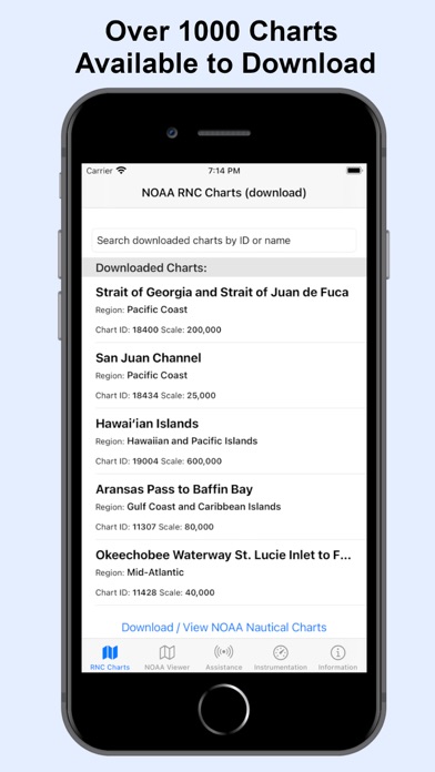
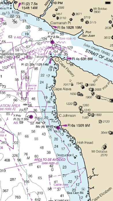
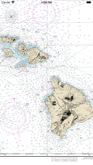
* RNC Charts - 1,000+ of NOAA's Raster Nautical Charts, high-resolution and geo-referenced, downloaded once and available fully offline, off-grid, anywhere on the water. Browse and search NOAA's full raster chart catalog by region before you download.
* ENC Charts (NEW, Early Access) - Over 2,000 of NOAA's Electronic Navigational Charts, vector-based, downloaded to your phone and available offline. Tap any point for details.…
From the developer’s store description.
 Appworthy