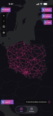
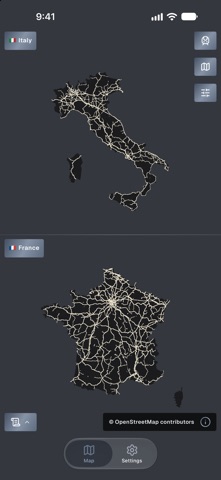
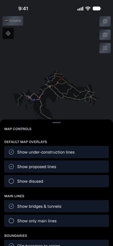
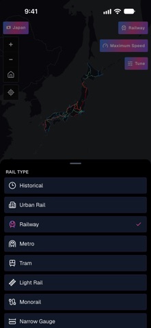
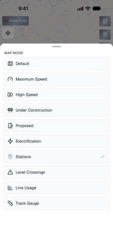
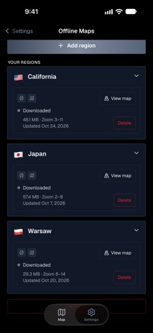
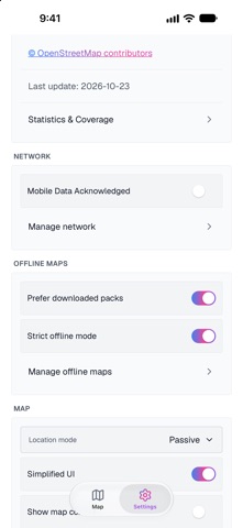
See how the rail network is built. RailsMaps maps railway, metro and tram lines in 1,150+ regions (countries, states, provinces, cities): max speeds, lines under construction, proposed routes, disused and abandoned lines, stations, level crossings, bridges and tunnels, electrification and track gauge.
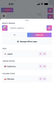
It's an infrastructure map, not a journey planner. Pick a region and you get every line, from national main lines to city trams, downloadable for offline use.
One-time purchase. No subscription, no ads.…
From the developer’s store description.
 Appworthy