 Appworthy
App Store
Version 3.0 · 2026-08-04
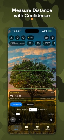
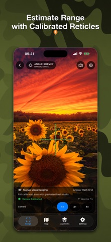
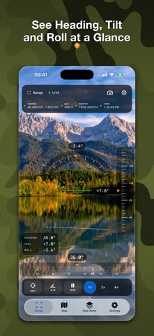
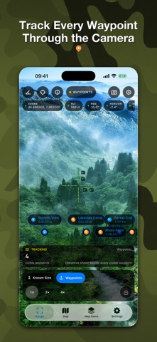
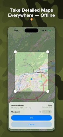
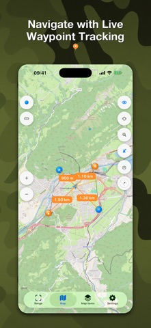
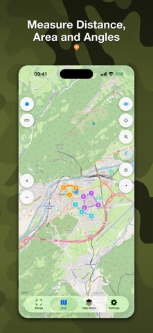
RangeFinder 3.0 is a major new release, rebuilt as a modern field toolkit. • Meet the new Range, Angle, and Angle Survey instruments with shared camera, reticle, capture, and sensor settings. • Use a calibrated vector-reticle library with Fine Cross as the default. Save your first instrument photo to unlock six bonus reticles. • Explore raster and OSM vector maps, download supported offline areas, manage storage, and zoom vector maps up to level 19. • Create waypoints from a photo’s GPS metadata, attach photos and voice messages, and track selected waypoints on the map, compass, and live camera. • Measure distances, angles, shapes, and areas on the map, with improved coordinate search and…
Shortened here; the full notes are on the store listing.