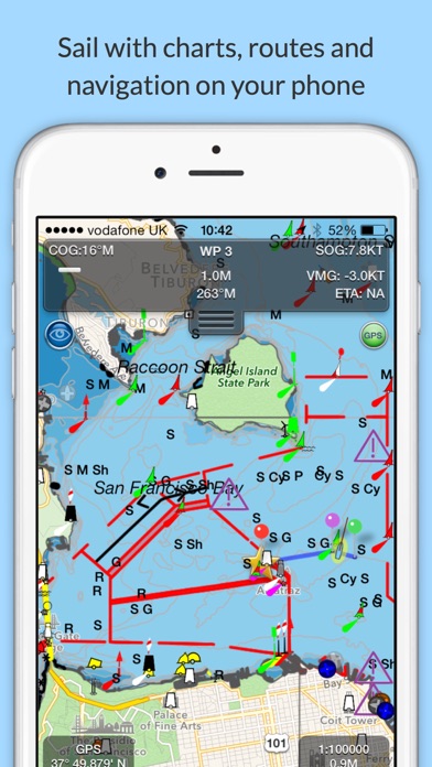
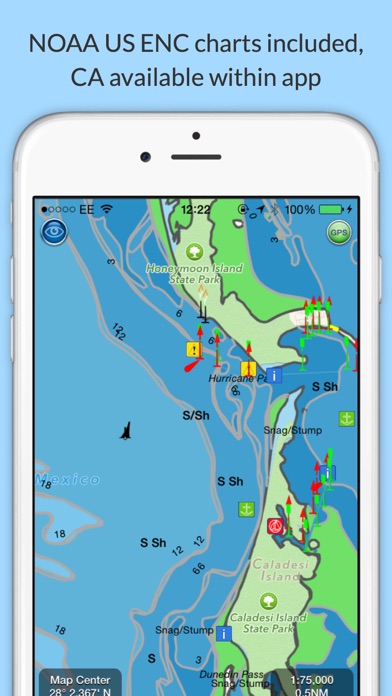
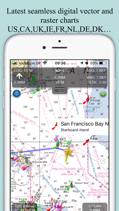
Explore, Plan and Navigate your boating trips in real time and outstanding high-resolution with the latest NOAA Marine charts covering the USA and US Great Lakes.
- Includes all US Coastal, ICW, Inland (USACE) and Great Lakes Digital Vector Charts
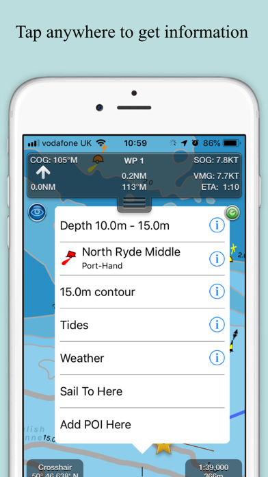
- Buoys, lights etc. are tappable with bearing and distance
- Free Apple Watch app
- Live AIS Ship targets and collision alerts (requires Boat Beacon)
- Seamless panning and zooming across charts
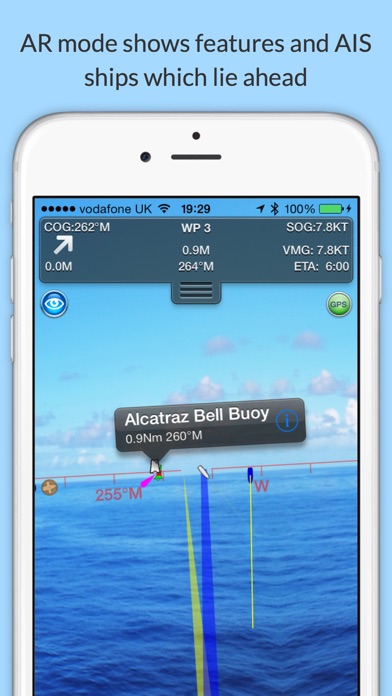
- Unique live Augmented Reality camera view
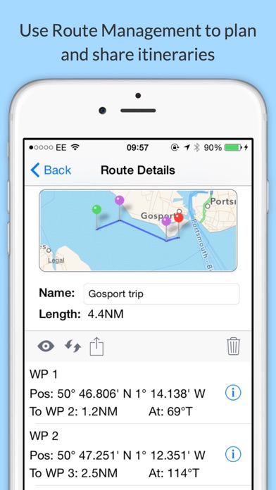
- Route Planning and tracking with Waypoints, ETA, XTE, etc. plus SeaNav autorouting
- Offline charts
- Route export and import to MFDs and other apps via gpx
- ActiveCaptain Marinas, Anchorage, Hazards and reviews
- US NOAA Raster charts available via IAP
- Canadian charts via IAP
- British Virgin Islands & Bermuda charts via IAP
- External NMEA over Wifi…
From the developer’s store description.
 Appworthy