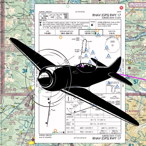
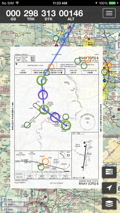
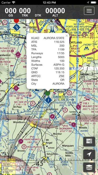
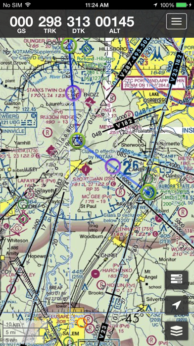
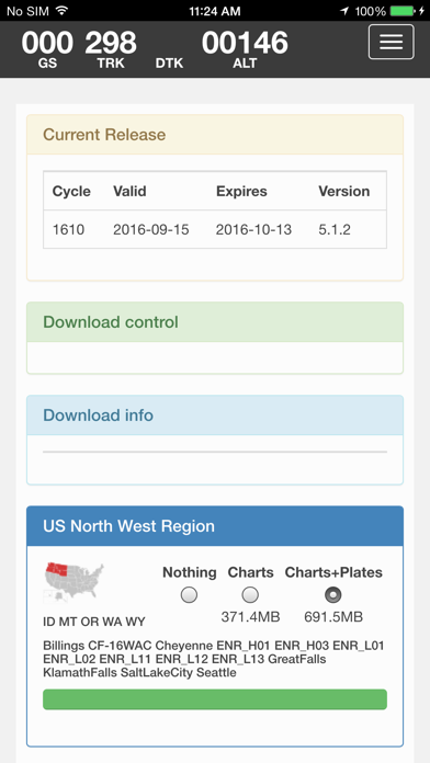
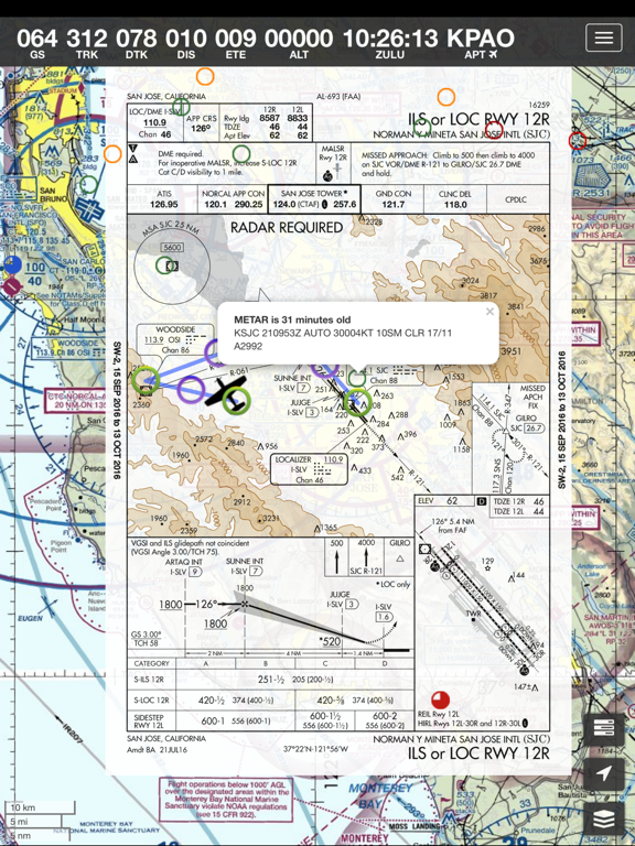
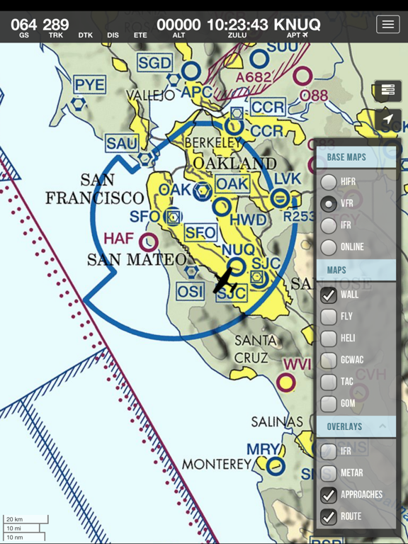
Current FAA aviation charts updated every 28 days, including approach plates. Now includes vector AIP worldwide vector chart. FAA raster charts have improved resolution.
Includes a free 30 day trial!
If you wish to continue using SkyCharts after the trial, please purchase a $3.99/month subscription. Note that buying a subscription does not unlock any additional features.
See full description regarding auto-renewing subscriptions, privacy policy and EULA below.
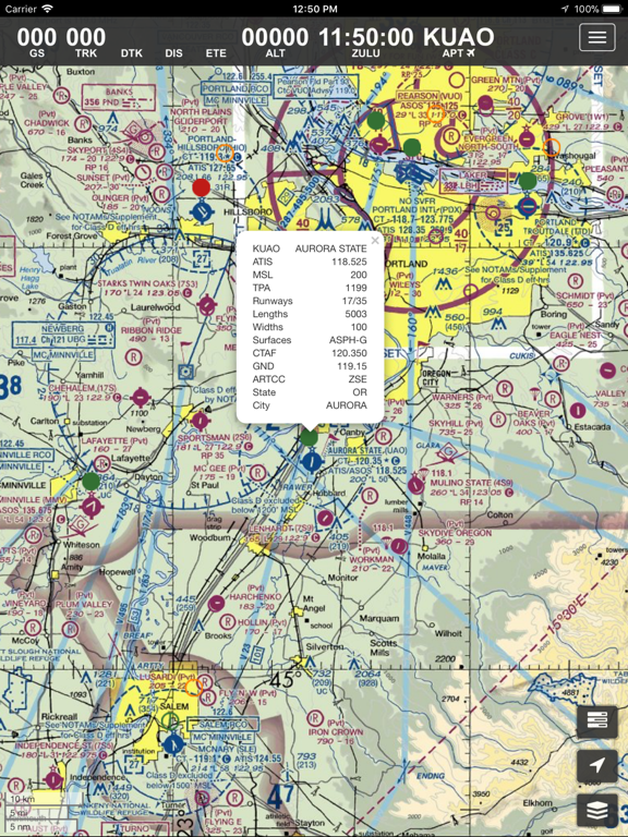
For USA/Alaska, the application has all current FAA VFR (sectional+WAC), IFR (High and Low), TAC, FLY (flip side of TAC chart).
Grand Canyon charts are included in the TAC charts.
Also included is a METAR/TAF overlay, and an IFR overlay to view routes on top of VFR charts.…
From the developer’s store description.
 Appworthy