The official Te Araroa app, from the Te Araroa Trust. Free.
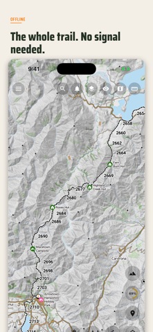
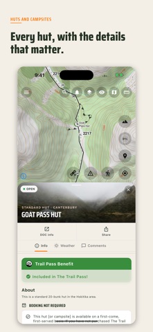
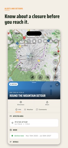
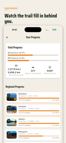
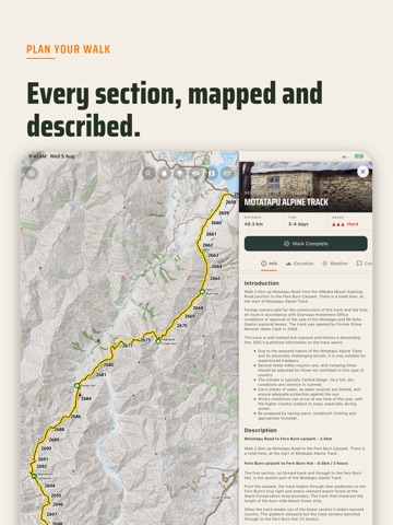
Every topographic map, hut, campsite and trail note for the whole 3,000 km between Cape Reinga and Bluff is stored on your phone before you leave. No signal. No data. No subscription.
WHAT YOU GET
OFFLINE TOPO MAPS OF THE WHOLE TRAIL
The full topographic map set ships inside the app. Pan and zoom the trail with your phone in aeroplane mode.
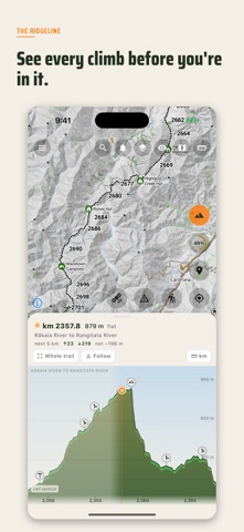
THE RIDGELINE
The elevation profile of the entire trail, not just the section you are standing on. Swipforward to see the climb that is waiting for you, with huts and campsites drawn on the profile where they actually are.
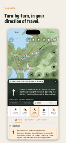
OFFICIAL TRAIL NOTES, IN YOUR DIRECTION
Turn-by-turn notes from the Te Araroa Trust, reordered and can be re-ordered based on the direction you are walking, northbound or southbound.…
From the developer’s store description.
 Appworthy